Old Testament Biblical Places With Modern Names: Teach Where It Happened
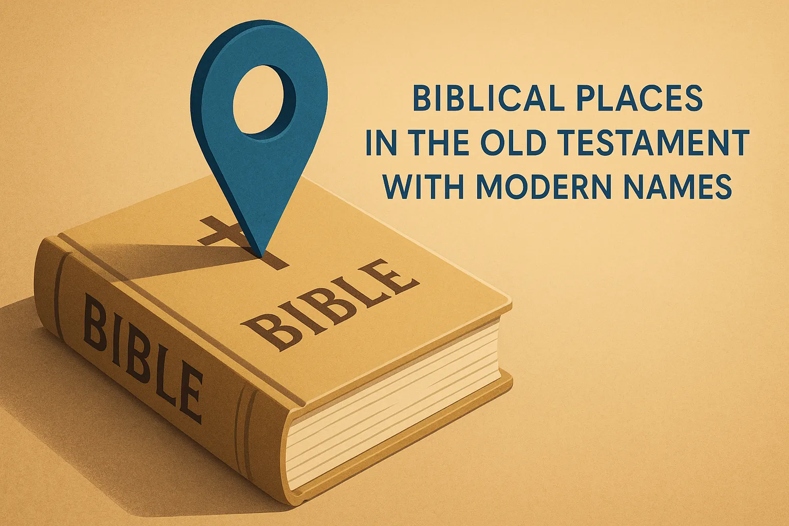
Old Testament Biblical Places With Modern Names: Teach Where It Happened
Biblical places in the old testament with modern names are not a footnote to your sermon prep. They are the difference between a congregation that hears ancient history and one that sees a real world. Say 'Ur of the Chaldeans' and most people picture nothing. Say 'southern Iraq, near the city of Nasiriyah' and suddenly Abraham's call has weight, distance, and cost.
Geography in Scripture is not background. It is argument. The route Elijah walked matters. The terrain David crossed matters. The distance from Kadesh-Barnea to the Jordan River matters. When you can place a story on a map your congregation already half-knows, the text stops being a fable and starts being a record.
Key Takeaways
- Before your next sermon, look up the modern country or city for every Old Testament place you mention — even one concrete anchor per location changes how your congregation receives the text.
- When a biblical site has a disputed or uncertain location (Mount Sinai is the clearest example), say so from the pulpit. Naming the uncertainty builds more trust than pretending the map is settled.
- Use Selah place profiles to pull GPS coordinates, modern names, and every Scripture event tied to a location in one step rather than cross-referencing three separate sources.
- If you are building a sermon series on the Exodus, the conquest of Canaan, or the Babylonian exile, map the route first. The geography is the argument, and your congregation will follow the theology once they can follow the movement.
- Bookmark at least one reliable source for biblical geography that gives you coordinates alongside Scripture references — vague 'somewhere in the Middle East' notes will not survive a follow-up question from a curious congregant.
On this pageWhy Modern Names Change How Your Congregation Hears the StoryA Working Reference: Key Old Testament Sites and Where They Stand TodayHow to Read Coordinates Into a Sermon Without Losing Your AudienceThe Sites That Surprise Congregations Most (and Why They Should)Using Selah's Place Profiles to Prep a Geography-Grounded LessonWhen the Modern Name Is Disputed: How to Handle It HonestlyA Repeatable Pre-Sermon Geography Checklist
Why Modern Names Change How Your Congregation Hears the Story
A pastor who can say 'Jericho still exists, about 15 miles northeast of Jerusalem' earns trust in the first minute. That one sentence does three things: it confirms the Bible describes a real place, it gives the congregation a mental anchor, and it signals that you have done the work. Abstract place names produce abstract faith. Concrete geography produces concrete faith.
The route matters because Scripture uses it as argument. Israel did not wander randomly. The text tracks them from Egypt through the Sinai Peninsula, up to Kadesh-Barnea, then east around Edom, then north through Moab. Each detour is a theological statement. You cannot explain the detour without the map.
This is why location data belongs in every sermon prep workflow, not just in academic commentaries. The congregation sitting in front of you has seen Iraq on the news. They have heard of the Nile. They know where Turkey is. You are not teaching them geography from scratch. You are connecting dots they already have.
Start your next passage by listing every place name before you write a single sentence of the sermon. That list is your geography inventory, and it will change what you say.
A Working Reference: Key Old Testament Sites and Where They Stand Today
The Fertile Crescent: Ur, Haran, and the Patriarchal Road
Ur of the Chaldeans is Tell el-Muqayyar in southern Iraq, at roughly 30.9626° N, 46.1031° E. It was a major Sumerian city-state. When God called Abraham out of Ur, he was not calling him out of a village. He was calling him out of one of the most sophisticated urban centers of the ancient world. That detail reframes the call entirely.
Haran is modern Harran in southeastern Turkey, at 36.8653° N, 39.0319° E. The family stopped there after leaving Ur. Terah died there. The pause at Haran is not incidental. It sits on the main trade route north of the Syrian desert, and the family's stop there fits the geography of ancient caravan travel exactly.
Canaan's Core: Jerusalem, Hebron, Beersheba, and Shechem
Hebron is still called Hebron, or Al-Khalil, in the West Bank at 31.5326° N, 35.0998° E. The Cave of Machpelah, where Abraham, Sarah, Isaac, Rebekah, Jacob, and Leah are buried, sits under a structure still standing today. Beersheba is modern Be'er Sheva in Israel at 31.2516° N, 34.7915° E. The phrase 'from Dan to Beersheba' marks the full north-south length of the promised land, and both cities still exist. Shechem is Tell Balata, near modern Nablus in the West Bank. It is where Abraham built his first altar in Canaan (Genesis 12:6-7) and where Joshua later read the law to all Israel.
The Wilderness and Sinai: Where Israel Wandered
Mount Sinai is most likely Jebel Musa in the Sinai Peninsula of Egypt, at 28.5392° N, 33.9753° E, though some scholars propose Jebel al-Lawz in northwestern Saudi Arabia based on travel-time calculations in the text. The honest answer is that the identification is traditional but not certain. Kadesh-Barnea is identified with Ein el-Qudeirat in the northeastern Sinai. It was the staging point for Israel's failed first attempt to enter Canaan, and the text keeps returning to it because the failure there defined forty years of consequences.
Pull up Selah's place profiles for any of these sites and you will find the coordinates, the modern name, and a full list of every Scripture event tied to that location, all in one place.
How to Read Coordinates Into a Sermon Without Losing Your Audience
Drop the decimal degrees. Nobody in the pew will hold '31.5326° N' in their head. Use landmarks they already know: 'about 60 miles south of Beirut' lands. '33.5° N' does not. The goal is a mental image, not a GPS fix.
Pair the modern country name with one sentence about why it matters in this passage. 'This happened in what is now Jordan, east of the river' tells the congregation immediately that the character is outside the promised land. That one geographic fact carries theological weight without a lecture.
One map reference per sermon is enough. Show a satellite image on a screen before the message starts. Google Maps satellite view of the Valley of Elah or the ruins of Megiddo does more work in thirty seconds than five minutes of verbal description. More than two map moments and people stop visualizing and start feeling lectured.
One map, one sentence, one location. Choose one site per sermon to highlight visually and one to name verbally. Write a single sentence that connects the ancient name, the modern name, and what happened there. Read it aloud before Sunday. If it sounds like a geography lecture, cut it in half.
Selah's place profiles include GPS coordinates, modern names, and every Scripture event tied to each location. That is one tab instead of five open browser windows during prep.
The Sites That Surprise Congregations Most (and Why They Should)
Nineveh is the ruins near Mosul, Iraq. The city Jonah fled from sits inside a modern city that most congregations have seen in news coverage. That connection is visceral and worth naming directly: 'The city God sent Jonah to is the same city you watched on the news.' It reframes the entire book of Jonah in about ten seconds.
Babylon is Hillah, Iraq, about 55 miles south of Baghdad. Nebuchadnezzar's capital is a real archaeological site. The Ishtar Gate is in a museum in Berlin. The ruins are still there. When you say 'Babylon' and your congregation thinks 'symbol,' you have work to do. When you say 'a site in Iraq you could visit,' the exile becomes concrete.
The Valley of Elah, where David fought Goliath, is the Elah Valley in Israel at 31.6975° N, 34.9617° E. You can still pick up smooth stones from the stream bed. That is not a metaphor. The stream is there. The stones are there. Megiddo is Tel Megiddo in the Jezreel Valley, a UNESCO World Heritage Site with 26 layers of occupation. The word 'Armageddon' comes directly from Har Megiddo, the Hebrew for 'Mount Megiddo.' Your congregation has heard the word a thousand times and may not know it is a real hill in northern Israel.
Use these as sermon hooks. 'This is a real place you could visit this year' reframes the narrative from myth to history without a single argument about inerrancy.
Using Selah's Place Profiles to Prep a Geography-Grounded Lesson
Selah carries 111+ biblical place profiles, each with coordinates, the modern name, a map, and a full list of Scripture events at that location. The workflow is straightforward: start with your passage, identify every place name, look each one up, note the modern country and one concrete geographic detail.
The verse list attached to each place profile is where prep gets interesting. Look at every passage set at the same location and a pattern often appears that the congregation has never noticed. Shechem, for example, shows up at Abraham's first altar, at Jacob's purchase of land, at Joseph's brothers selling him into slavery, and at Joshua's covenant renewal. The place carries a thread across centuries.
The Strong's interlinear reader on the same platform lets you check the Hebrew spelling of a place name when the English transliteration varies across translations. 'Beersheba,' 'Beer-sheba,' and 'Beer Sheba' all appear in different versions. The Hebrew is consistent. Knowing that saves a distracted five minutes mid-prep.
The full workflow: passage to place profile to map to one geographic sentence in your sermon notes. Under ten minutes per location, and you walk into Sunday with confidence about where the story actually happened.
When the Modern Name Is Disputed: How to Handle It Honestly
Some identifications are certain. Jerusalem is Jerusalem. Jericho is Jericho. Hebron is Hebron. Others are scholarly best guesses, and saying so is not weakness. It is the kind of intellectual honesty that increases credibility with the educated people in your congregation, not decreases it.
Mount Sinai is the clearest example. Jebel Musa has centuries of tradition behind it, but the biblical text's travel times fit other candidates. Acknowledge both. Say 'the traditional site is in Egypt's Sinai Peninsula, though some scholars read the text's distances differently.' That is a complete, honest sentence.
Sodom and Gomorrah remain genuinely unresolved. Tall el-Hammam in Jordan is a current leading candidate, supported by evidence of a Bronze Age destruction event, but it is not consensus. Say 'most likely in the Jordan Valley, possibly at a site called Tall el-Hammam' and move on. Your congregation can handle nuance. What they cannot handle is discovering later that you presented a guess as certainty.
The rule is simple: if the identification is solid, state it. If it is debated, name the leading candidate and say so. Then spend your sermon time on what happened there, not on the debate.
A Repeatable Pre-Sermon Geography Checklist
- List every place name in your passage before you write a word of the sermon. This is your geography inventory.
- Look up each name in a place reference and write the modern equivalent next to it. Selah's place profiles, a Bible atlas, or a Bible dictionary all work.
- Note the distance and direction between key locations in the passage. Movement in Scripture is almost always meaningful, and the direction of travel often tells you something about the character's spiritual state.
- Choose one location to highlight verbally and one to show visually. More than that competes with your main point.
- Write one sentence per location connecting the ancient name, the modern name, and what happened there. Read it aloud before Sunday to test whether it sounds natural or like a geography lecture.
Where to find the data fast. Selah's place profiles at myselahh.com include GPS coordinates, modern equivalents, and a full Scripture event list for 111+ biblical locations. No login required. Search the place name, open the profile, and you have everything you need for steps 2 and 3 of this checklist in under two minutes.
Geography is one of the fastest ways to move a congregation from passive listening to active imagination. When they can picture where something happened, they start asking why it happened there. That question is where real Bible study begins.
The Old Testament is set in a world that still exists, in countries that still have names, on terrain that still shapes how people live. Every time you connect an ancient site to its modern location, you are not adding a footnote. You are removing a barrier between your congregation and the text.
Frequently asked questions
What is the modern name for Ur of the Chaldeans?
Ur of the Chaldeans corresponds to Tell el-Muqayyar in southern Iraq, roughly 300 kilometers southeast of Baghdad near the modern city of Nasiriyah. British archaeologist Leonard Woolley excavated the site extensively in the 1920s and 1930s, uncovering a ziggurat and royal cemetery that confirm a major Sumerian urban center. The identification is widely accepted, though a minority of scholars argue for a northern Mesopotamian location based on later textual clues.
Is biblical Canaan the same place as modern Israel and Palestine?
Broadly yes, though the ancient boundaries of Canaan extended further than any single modern political border. The core territory covered what is now Israel, the Palestinian territories, Lebanon, and parts of western Jordan and southern Syria. The term 'Canaan' in the Old Testament describes a region, not a single city-state, so its overlap with modern nations is partial and depends on which biblical period you are mapping.
Where is Mount Sinai today, and is the location certain?
The traditional site is Jebel Musa in Egypt's southern Sinai Peninsula, where the monastery of Saint Catherine has stood since the sixth century. The identification is not certain. Competing proposals include Jebel al-Lawz in northwestern Saudi Arabia and several other peaks in the Sinai and Negev regions. No archaeological evidence has definitively settled the question, so any sermon treatment should acknowledge the debate rather than present one peak as fact.
What Old Testament city is now called Mosul?
Nineveh, the Assyrian capital where Jonah preached and where Nahum's prophecy was directed, lies directly across the Tigris River from modern Mosul in northern Iraq. The ruins of ancient Nineveh, including the mound of Kuyunjik, sit within the city limits of present-day Mosul. Excavations there in the nineteenth century by Austen Henry Layard uncovered the palace of Sennacherib and a massive cuneiform library.
Have archaeologists found evidence for Sodom and Gomorrah?
No site has been universally accepted as Sodom or Gomorrah, but several candidates have serious archaeological backing. Tall el-Hammam in Jordan's southern Jordan Valley is currently the most discussed proposal, with excavations showing evidence of a sudden, high-heat destruction event around 1650 BCE. Other scholars favor sites along the southeastern shore of the Dead Sea. The debate is active, and a careful preacher will present the evidence as promising but not conclusive.
How do I find GPS coordinates for biblical places when preparing a sermon?
Selah publishes place profiles that include GPS coordinates, modern place names, and a full list of Scripture passages tied to each location. For sites not yet in a dedicated database, the Dead Sea Scrolls Digital Library and peer-reviewed biblical geography resources from universities often include coordinate data. Cross-referencing two sources takes less than five minutes and protects you from outdated or contested identifications.
Explore Every Biblical Place With Modern ContextSelah's place profiles give you GPS coordinates, modern names, maps, and every Scripture event tied to each location — all free, no account required for browsing. Start with the places in your next sermon and see how fast your prep moves.Browse biblical places →
Comments
Be the first to comment.